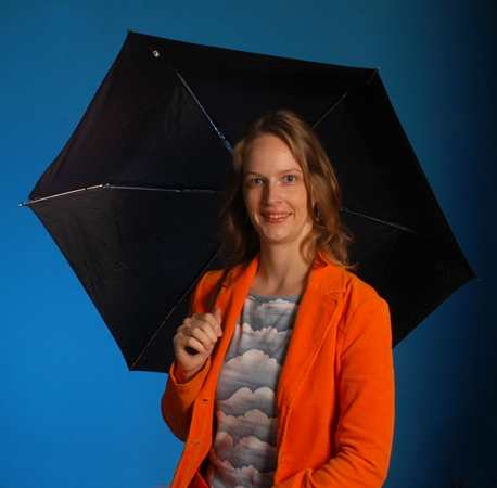
In September 2019 Hurricane Dorian devastated the Bahamas and was followed by a series of strong tropical storms. Soon after, tropical climatologist and hurricane expert Corene Matyas logged onto Reddit AMA to share her knowledge on the deadly disasters.
Matyas, a UF Geography Professor, teaches on severe weather, atmospheric data analysis, remote sensing of rainfall and more. Check out some of the knowledge she shared with Redditors.
Read more about Dr. Matyas’s work in the Geography Department at UF.
Q: What is it about hurricanes that makes their path and strength so difficult to predict? Why are they so inconsistent with their movement patterns?
A: Hurricanes are affected by the environment, and they also affect the environment around them. A stronger hurricane will interact with the environment differently than a weak hurricane. Our track forecasts have increased in accuracy over the past decades. We still find it challenging to accurately predict storm intensity. Intensity is the one minute maximum sustained windspeed and tends to be located near the storm’s center in the Atlantic basin. It is a very small point that we need to model in order to make a prediction.
Q: On the topic of climate change, how is the climate affecting hurricanes, tornadoes, etc?
A: There’s an increase of energy in our climate system, and extreme weather events occur as one of the mechanisms to balance and use this excess energy. This energy could be put into increasing wind speed or raising a temperature or causing more evaporation that could lead to more clouds and precipitation, but all of these possibilities can occur at different places and different times. It’s hard to point to any one event and say that it is a direct result of climate change.
Q: I have noticed multiple storm systems occurring in (relatively) the same latitude at various times during the hurricane season. 1) Is there a name for this phenomenon? 2) How do the rain shields affect each other?
A1): Hurricanes can form in different parts of the Atlantic basin at different times of the season when the conditions are present like warm ocean waters, moist atmosphere, a preexisting disturbance that provides spin and where winds are relatively calm above that disturbance. Then their motion is determined by large scale circulation features that might be 1000 miles or more away from the storm and these features like the Bermuda High, themselves move, grow, shrink, strengthen and weaken throughout the hurricane season. So, there can be similar tracks taken by storms because they formed in similar regions under similar conditions when these steering forces are occurring. We actually use this to verify our forecast again with Climatology and Persistence (CLIPER). Just because they pass through a similar latitude doesn’t mean there is a name for this but it’s not that it’s unexpected. A2) When two tropical cyclones move near each other, it is possible for one to move around the other; this is called the Fujiwhara Effect. It’s not specifically related to the rain shield but the wind dynamics of the system.
Q: How exactly is remote sensing used in studying rainfall?
A: We have sensors aboard satellites that help detect the amount of moisture in the air, the presence of clouds, the presence of other atmospheric components like dust. Also, the radar data you might look at your phone comes from another type of remote sensing instrument where a signal is sent out from the radar antenna and the amount of signal received back tells us about the amount of water in the air, which translates to the rate of rain.
Q: Do you envision this work impacting policy decisions, and/or enabling officials to make more accurate assessments on evacuation orders, especially when considering one topographical region to the next?
A: Evacuation orders are issued for places concerning storm surge. We don’t issue evacuation orders for potential flash flooding for rainfall, at least not right now. The amount of rainfall that can trigger a flood is dependent on a number of factors, including, how saturated are the soils, the land use of the area as urban environments are full of impervious materials that don’t drain quickly enough, steeper slopes hold less moisture before they fail, and how much of an area upstream feeds into the area of the location where you’re located; you can flooding several days after peak rainfall due to runoff upstream.
Q: What sorts of breakthroughs do you hope to glean from the rain fields data?
A: Predicting a flood and enabling people to evacuate people from (an) area is complicated, but the first step is to better predict the rainfall itself. One example is how does a tropical cyclone interact with the air mass over the continent as it makes landfall; how quickly does dry air spiral into the storm’s center and reduce rainfall versus does moisture get uplifted over dry air to temporarily enhance rainfall. These are processes I am currently studying.

